loading loading loading loading loading
Search
Exact matches only
Search in title
Search in content
Search in comments
Search in excerpt
Filter by Custom Post Type

+ share

Share on:


Share on:


What can stop this guy?


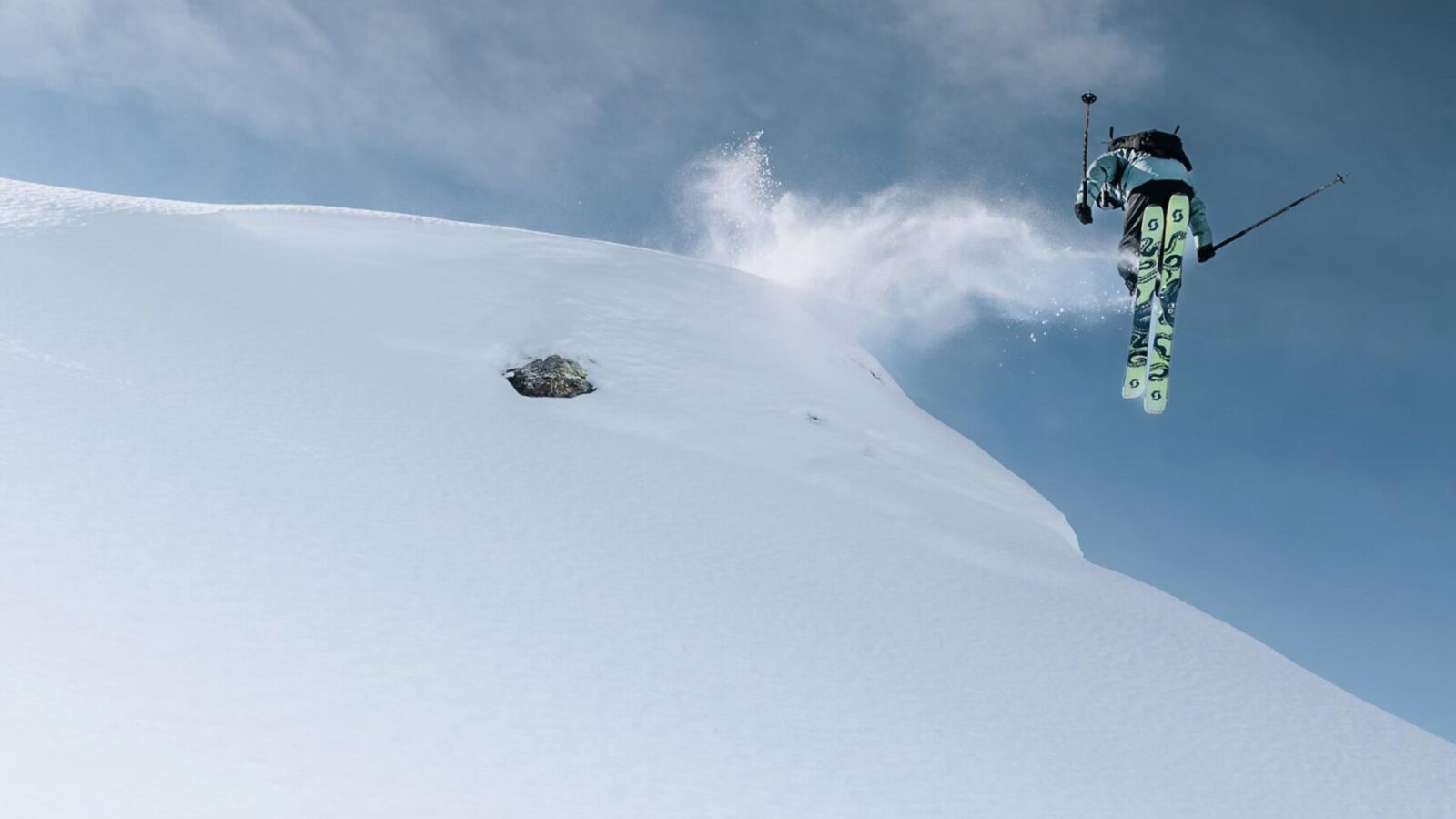
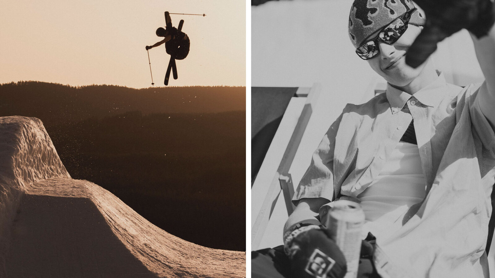
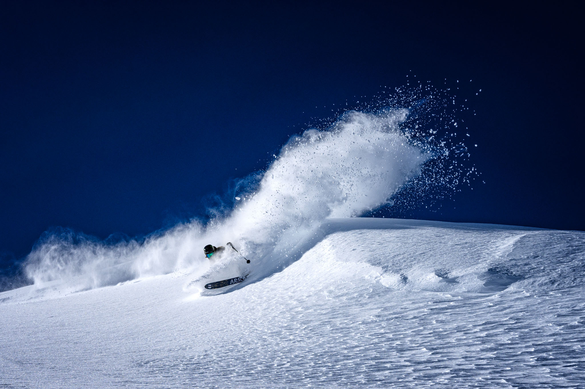
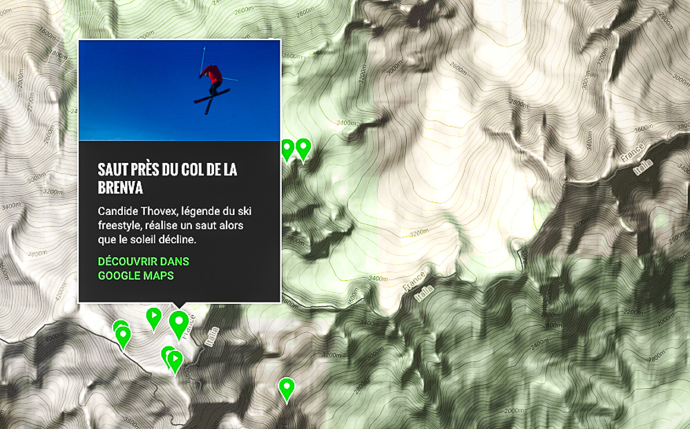
Google Maps has released Street View Imagery of the Mont Blanc, the highest mountain peak in Europe and the surrounding mountain range, the Mont Blanc Massif. The imagery and videos document six world-renowned athletes engaging in the sports they’re famed for in different areas of the Massif, including Faction athlete Candide Thovex shown in a sunset kicker session atop the highest peak in the Alps. Navigate around the 360-degree panoramic images to see athletes skiing, climbing and mountaineering in one of the world’s most breathtaking sites. Discover the iconic locations, the best panoramas, and even to climb up to the summit via the well-known Gouter route.
Check it out HERE :

The full video here :

By:


We know it's annoying, but:
This website uses cookies to improve your experience. We'll assume you're OK with this, but you can opt out if you wish. More information

Privacy Settings saved!
Privacy Settings

When you visit any web site, it may store or retrieve information on your browser, mostly in the form of cookies. Control your personal Cookie Services here.

These cookies are necessary for the website to function and cannot be switched off in our systems.

In order to use this website we use the following technically required cookies
  • wordpress_test_cookie
  • wordpress_logged_in_
  • wordpress_sec
  • adblock_setting

Decline all Services
Accept all Services